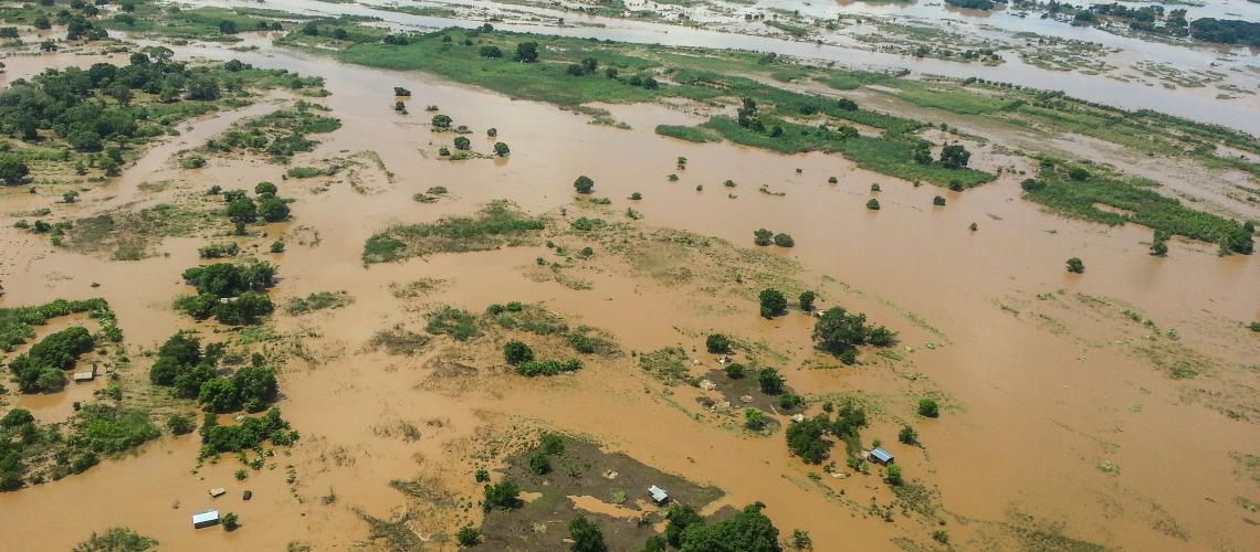
Artificial intelligence (AI) and geospatial data can play a critical role in preventing natural disasters by providing accurate and timely information to emergency responders and decision-makers.
One of the main ways AI and geospatial data can be used to prevent natural disasters is through early warning systems. AI algorithms can analyze historical data, such as weather patterns, topography, and land use, to identify areas at risk of flooding, landslides, and other hazards. This information can be used to issue early warnings and alerts to local authorities and residents, allowing them to take appropriate measures to protect themselves and their property.
Another way AI and geospatial data can be used to prevent natural disasters is through risk assessment and management. By analyzing data from satellites, drones, and other sources, AI-powered systems can create detailed maps and models of natural hazards and their potential impacts. This information can be used to identify critical infrastructure and other key assets at risk, as well as to develop and implement mitigation strategies.
AI can also be used to improve the management of natural disasters once they occur. For instance, by using computer vision and machine learning algorithms, AI can analyze images and videos from drones, cameras, and other sources to identify areas affected by a disaster, assess the extent of the damage, and locate and track people and assets. This information can be used to guide the deployment of rescue and recovery teams and to prioritize aid and assistance.
In addition, AI and geospatial data can also be used to improve the resilience and preparedness of communities and infrastructure. By analyzing data on population demographics, housing, and other factors, AI-powered systems can identify areas and populations most at risk of natural disasters, helping to target investments and resources to increase preparedness and resilience.
Finally, AI can also be used to improve the prediction of natural disasters by analyzing large amounts of data from various sources and providing more accurate predictions, which can help emergency responders and decision-makers to prepare for potential hazards and respond more effectively when a disaster strikes.


0 Comments