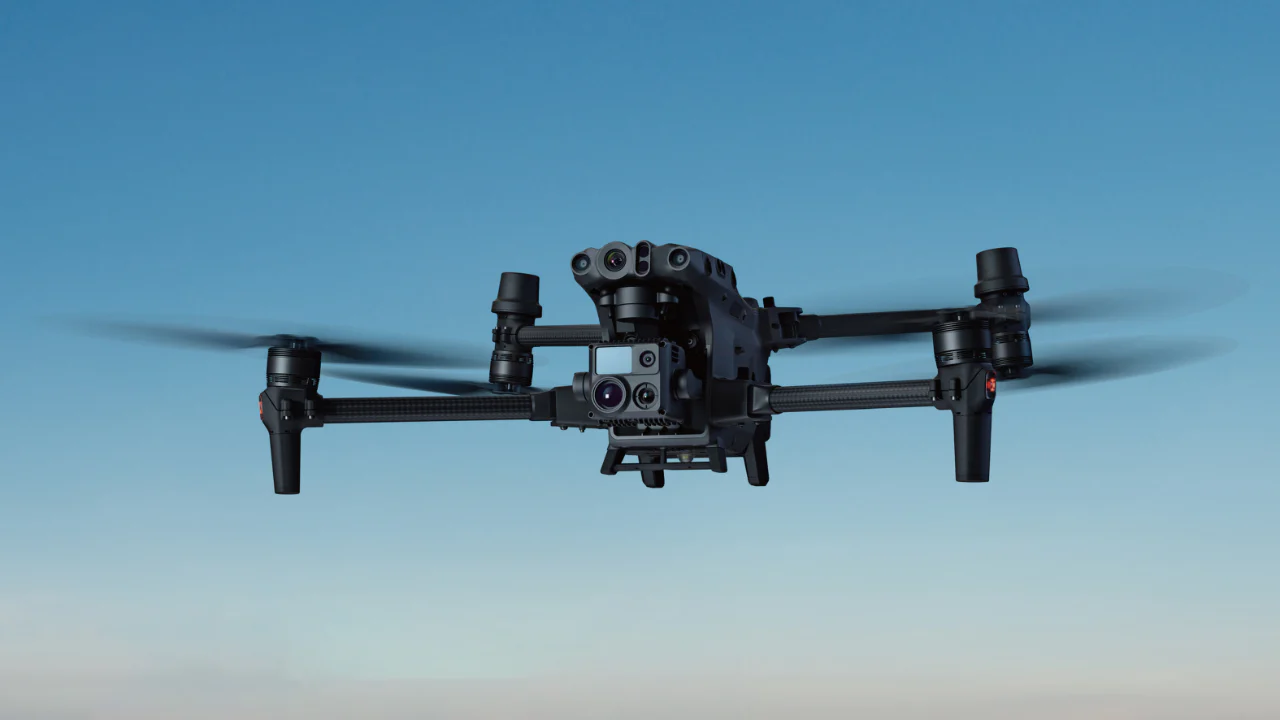
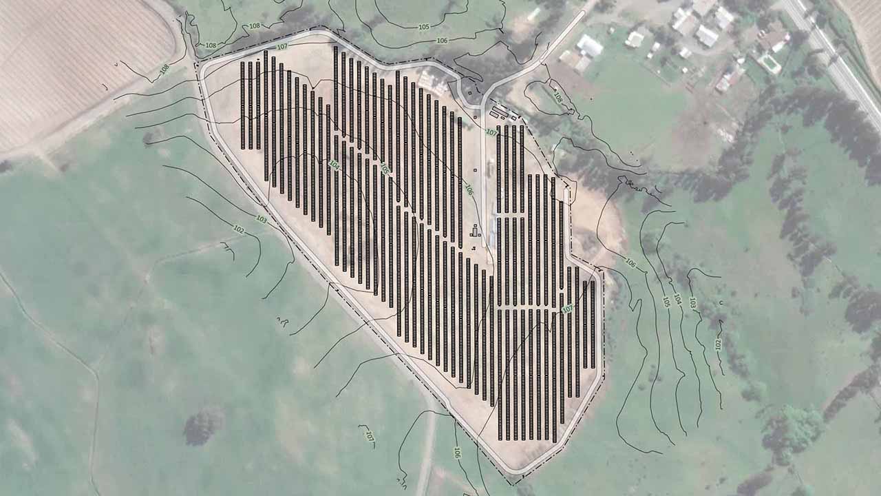
We collect RTK images with drones and create for you Orthomosaics, digital elevation models and contour lines ready to be used in your projects.
Streamline the design process in your solar plants with the advantages and low cost offered by photogrammetry with RTK drones.
Accurate data using aerial imaging with high tech drones
Get the dimensions and areas of your project
Reports based in powerful GIS software and IEC TS 62446-3 standards
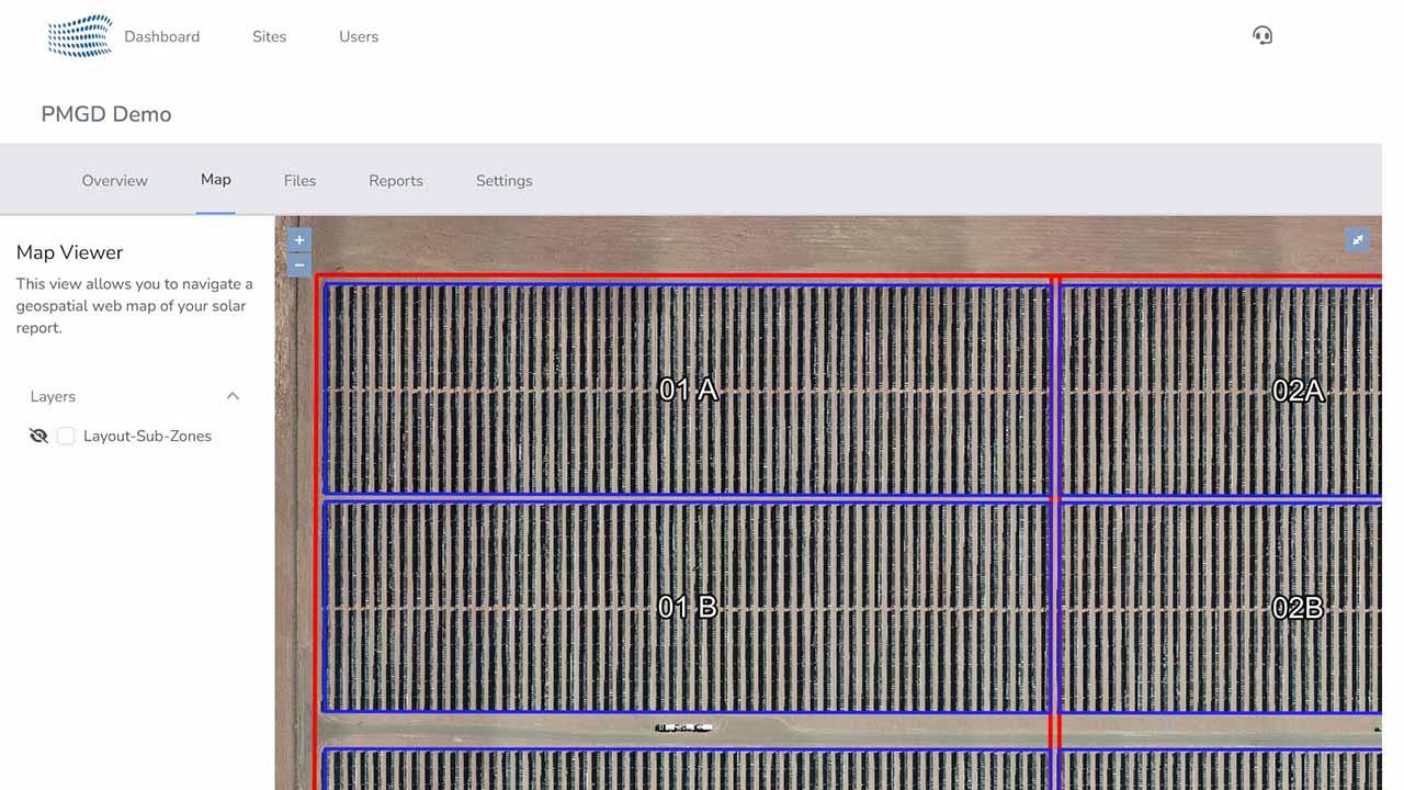
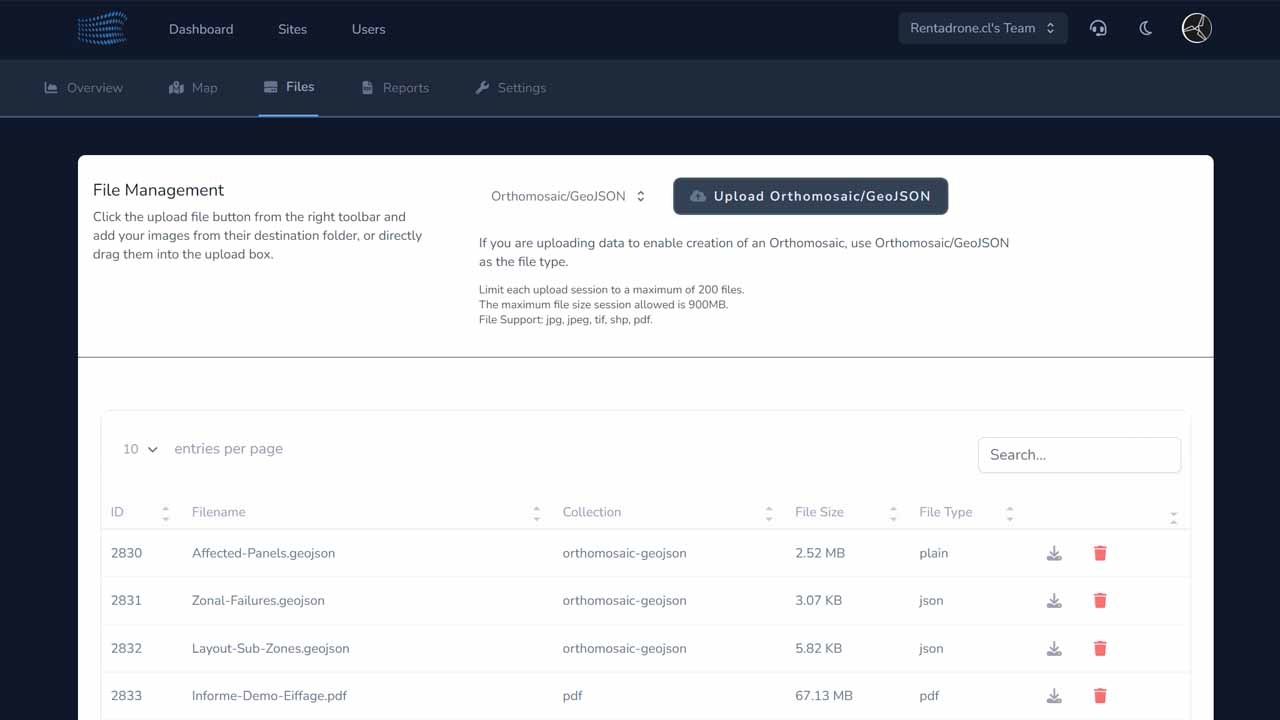
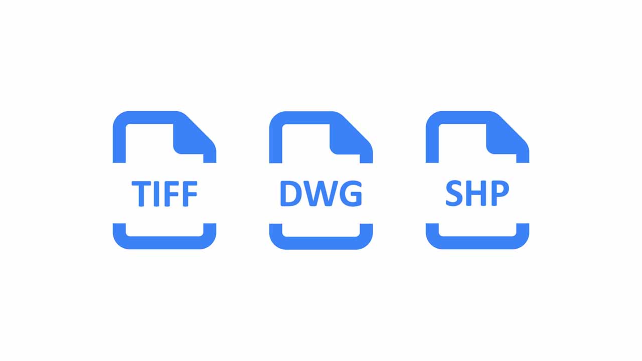
Download your geotiff, dwg, or shapes files directly from our platform
View the information and download in the format that suits your project, easily and quickly.
Different formats with data georeferencing
Accurate data using aerial imaging with high tech drones
Reports based in powerful GIS software and IEC TS 62446-3 standards
Workflow
1
Data Collection
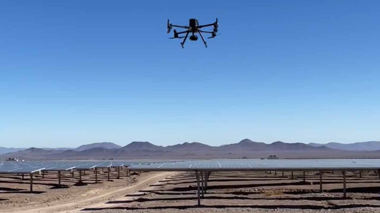
We collect images with RTK drones under the most demanding standards to guarantee the quality and accuracy of the data.
2
Photogrammetry Processing
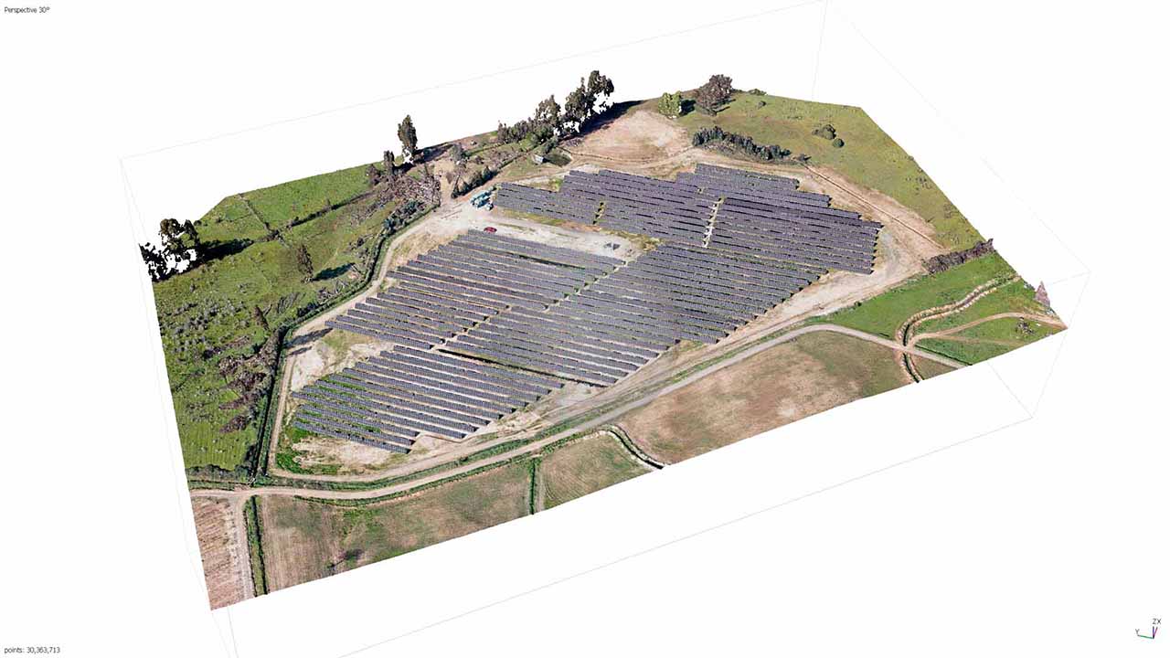
We use the most advanced photogrammetry programs to create your three-dimensional models (cloud points) and obtain the information you need and adapt to your design process.
3
Georeferenced Data
Starting from a cloud of points we obtain all the detailed spatial information of the place. translate it into easy-to-understand 3D and 2D formats to design quickly and accurately.
4
Manage, view and download your files easily
Our platform offers you a friendly and easy-to-use interface, where you can view and download your files.


