


Precision agriculture is the use of technology to optimize crop yields and reduce costs. Using drones equipped with multispectral cameras for precision agriculture surveys can provide a number of benefits:
- Increased Efficiency: Drones can cover large areas of land quickly and efficiently, which can save time and labor costs.
- Multispectral cameras can also provide detailed information about the health and growth of crops, which can help farmers make data-driven decisions about planting, fertilizing and harvesting.
- Greater Accuracy: Multispectral cameras can capture a wide range of wavelengths of light, which can provide detailed information about the health of crops. This information can be used to detect issues such as pests, diseases, and nutrient deficiencies, which can help farmers take corrective action before they become major problems.
- Better Crop Management: Multispectral cameras can provide detailed information about crop growth and health, which can help farmers make data-driven decisions about planting, fertilizing, and harvesting. This can help optimize crop yields and reduce costs.
- Better Water Management: Drones equipped with multispectral cameras can provide detailed information about the water content of crops, which can help farmers optimize irrigation and avoid over-watering.
- Cost-effective: Drones equipped with multispectral cameras can provide detailed information about crop health and growth at a fraction of the cost of traditional methods, such as manual inspections or satellite imagery. This can help farmers save money on labor and equipment costs.
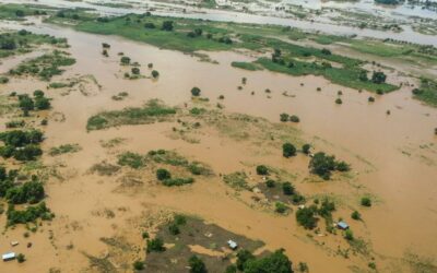
- Access to Hard-to-Reach Areas: Drones can fly to areas that are difficult or impossible to reach by foot, such as steep terrain or wetlands. This allows farmers to survey and monitor crops in these areas without having to put workers at risk.
In summary, using drones equipped with multispectral cameras for precision agriculture surveys can help farmers increase efficiency, make more accurate decisions, better manage their crops, optimize water management and access hard-to-reach areas, which can ultimately increase crop yields, reduce costs and improve overall crop health.

0 Comments